Santo Domingo and Southeast
From the first cathedral of the Americas to the cenotes of La Altagracia, the region where we start most of our Dominican circuits.
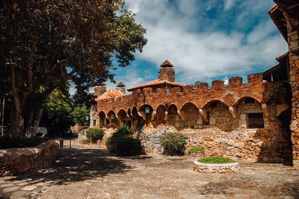
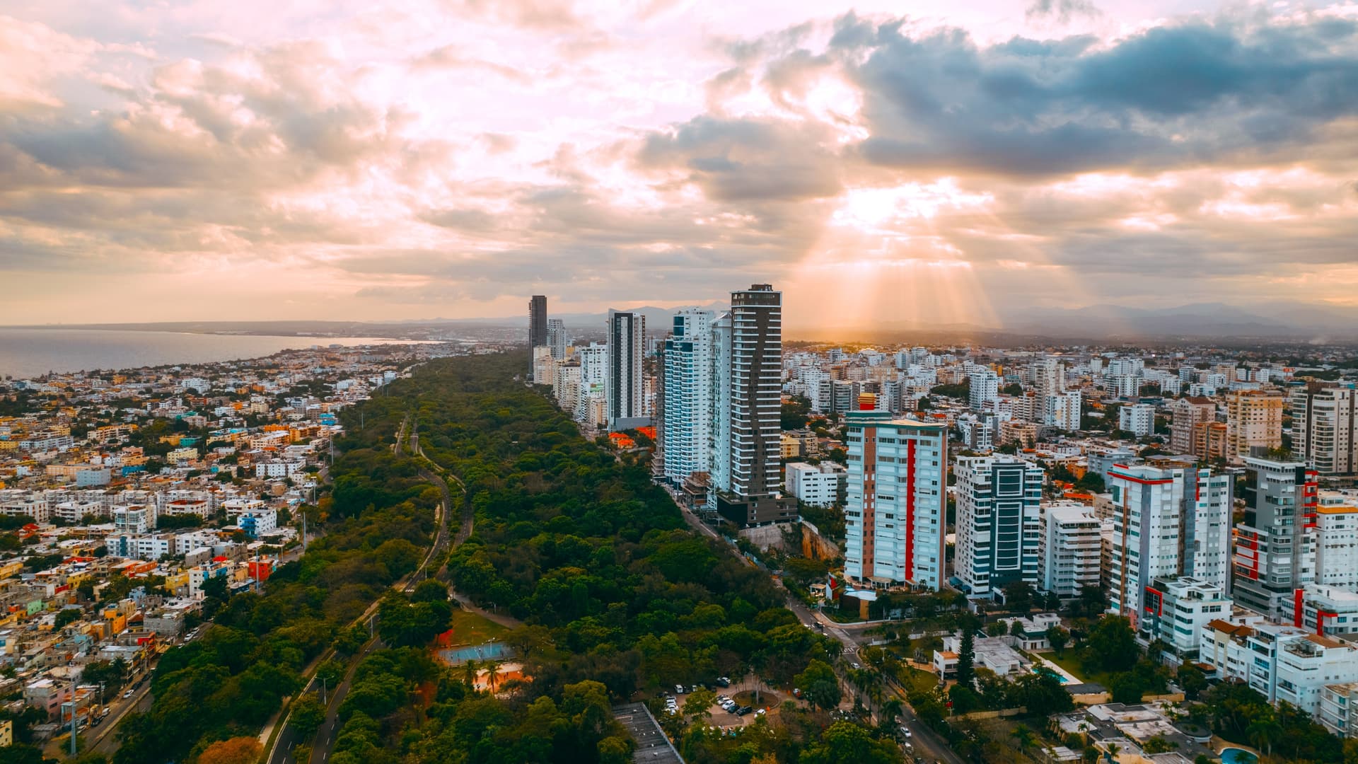
Santo Domingo and the Southeast form the historical and logistical gateway to the country. It was here, on the western bank of the Ozama River, that Bartolomé Colón founded in 1498 the first European city in the Americas. The Colonial Zone, inscribed as a UNESCO World Heritage site in 1990, spans roughly 1 km²: the calle Las Damas paved in 1502, the Catedral Primada de América completed in 1540, the Alcázar de Diego Colón and the national Panthéon can all be explored on foot in a single day. We begin most of our circuits here since Las Américas international airport sits just 30 minutes east of the city center.
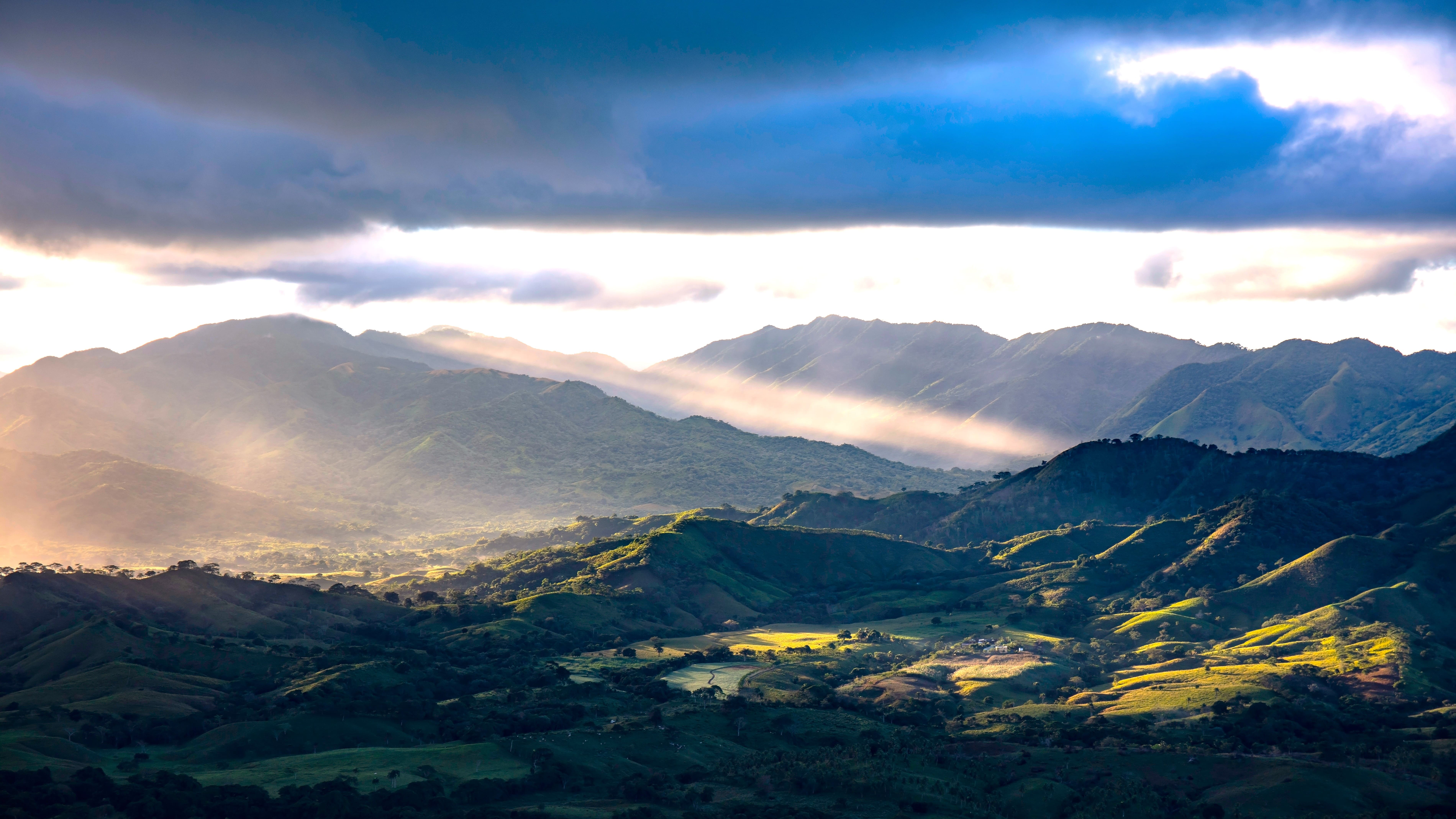
Beyond the capital and its 3.5 million inhabitants, the region stretches along 200 km of Caribbean coastline to the eastern tip of the island. The terrain remains largely flat, dominated by the Cordillera Oriental which peaks at 736 m at Loma Vieja, and by vast limestone plateaus pierced with caves and cenotes. The province of La Altagracia, the most easterly, concentrates coffee plantations, coconut groves and sugarcane fields that still feed the sugar mills of San Pedro de Macorís and La Romana.
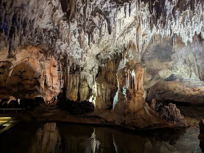
Culture here is deeply mixed: Taíno heritage visible in the pictographs of Cueva de las Maravillas, a strong Afro-Dominican presence around Villa Mella where gagá and the confraternities of the Holy Spirit perpetuate rituals inscribed in UNESCO's intangible cultural heritage, and cocolo communities descended from English-speaking workers who arrived from the smaller Antilles in the 19th century to work the sugar plantations. In San Pedro, the dances of Guloya still take place each January 6th. As for cuisine, we guide our travelers toward mofongo made from green plantain crushed in a mortar, pescado con coco from the east coast, and chenchén of corn typical of the South.
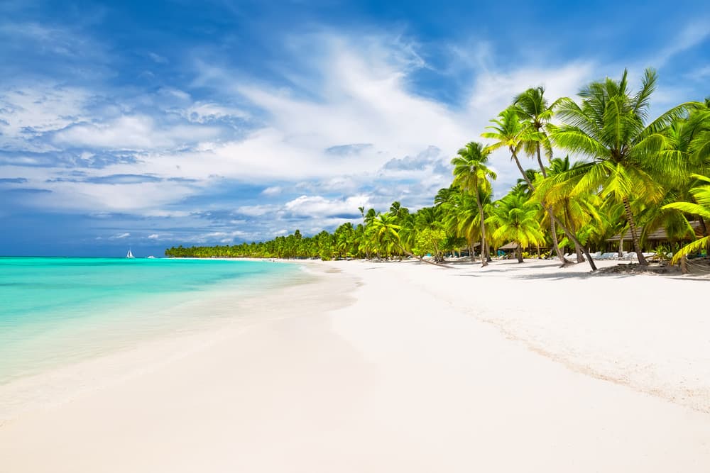
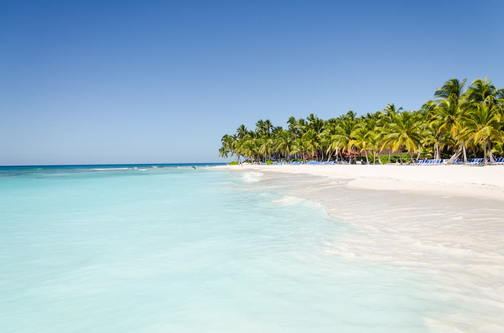
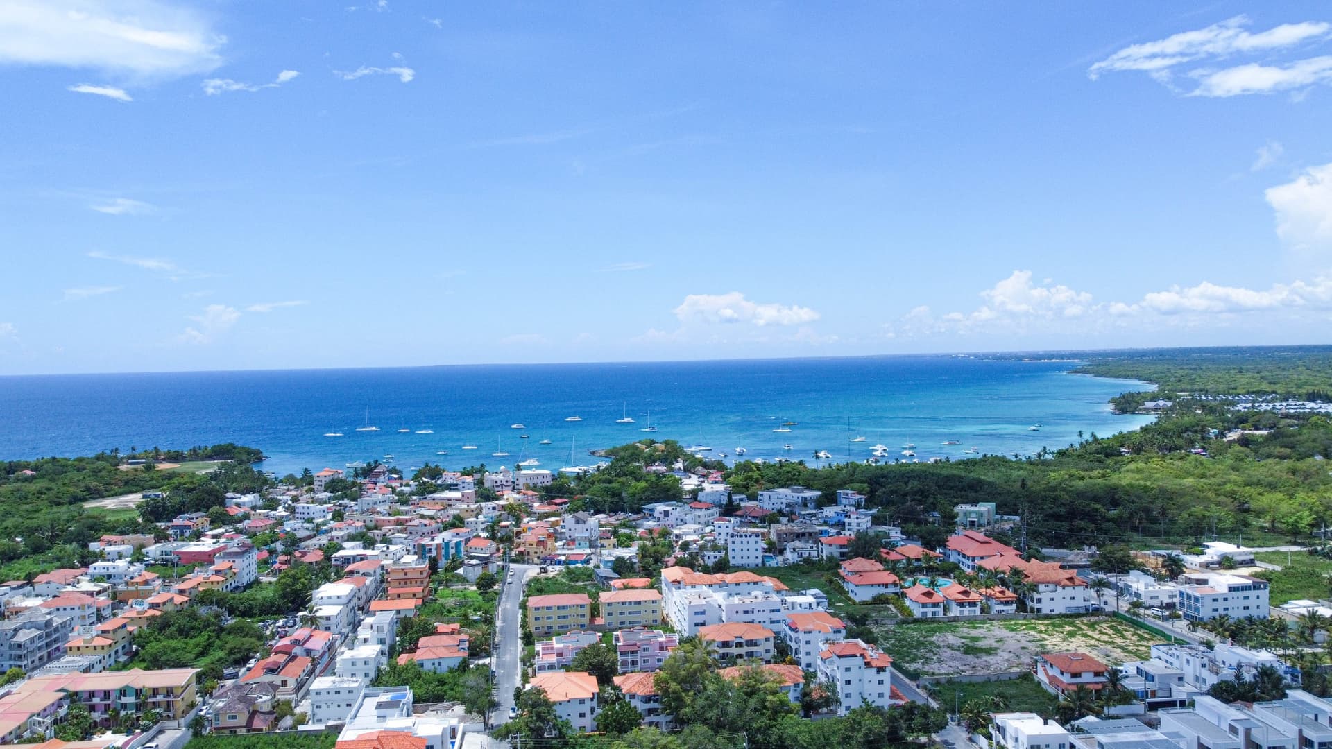
Bayahibe, a former fishing village founded by Puerto Rican families in 1874, serves as a base for trips to Saona Island and Catalina Island, both within Cotubanamá National Park (formerly East National Park). This park protects 791 km² of subtropical dry forest, mangroves and reefs where water stays at 28°C year-round. Further east still, Punta Cana and Bávaro line up 50 km of beaches fringed with coconut palms and all-inclusive resorts. We don't overlook them, but prefer to suggest stays in the fishing villages of Boca de Yuma, at the mouth of the río Yuma, or swims in the freshwater cenotes of Hoyo Azul and the Indigenous Reserve Eyes, less frequented mid-week.
The regional economy rests on tourism (Punta Cana airport is the busiest in the Caribbean with over 8 million passengers annually), sugarcane and artisanal fishing. But the interior remains agricultural: as we drive toward Higüey, the country's spiritual capital with its raw concrete basilica completed in 1971, we pass through landscapes of cattle ranches and small towns where accordion-driven merengue típico echoes late into the evening. It's this contrast between the ultra-equipped beach façade and a still-rural interior that justifies, in our view, devoting more than the usual three days here.
Discoveries
Colonial Zone of Santo Domingo. A full day on foot between the Catedral Primada of 1540, the ruins of San Nicolás de Bari hospital and Fortaleza Ozama. We finish with coffee in the shade of Parque Colón, where domino players settle in late afternoon.
Saona Island from Bayahibe. A boat crossing of roughly 45 minutes through the mangroves of río Chavón then swimming on the shallow sandbanks of the natural pool, at 1 meter deep and 28°C.
Cotubanamá National Park. A 3-hour hike through dry forest to the Taíno pictographs of Cueva del Puente, then snorkeling on the protected corals of Catalinita, frequented by green sea turtles.
Villa Mella and gagá. Thirty minutes north of the capital, we attend rehearsals of the Cofradías del Espíritu Santo, percussion and Afro-Dominican songs inherited from Congo, inscribed as UNESCO intangible heritage in 2001.
Boca de Yuma and Cueva de Berna. Lunch of grilled fish with conch at fishermen's homes at the mouth of río Yuma, then descent into a limestone cave adorned with 300 Taíno pictographs, rarely visited by tour groups.
When to visit
The best time to visit Santo Domingo and the Southeast runs from December to April: temperatures of 24 to 29°C, moderate humidity, clear skies for most of the day. May and October are the two wettest months, with brief but intense showers in late afternoon (monthly rainfall totals of 150 to 200 mm around the capital). We avoid scheduling boat trips to Saona between late August and mid-October, the peak hurricane season: statistically, 75% of tropical storms that strike the island arrive within this window.
Summer (June to September) remains manageable but heavy: 30 to 33°C with 80% humidity, particularly in Santo Domingo where urban heat island effect is pronounced. The coast around Bayahibe and Punta Cana, exposed to the trade winds, proves more pleasant than the interior. The sea remains swimmable year-round, ranging from 26 to 29°C depending on the season.
Practical tips
We recommend a minimum of 4 days for this region: 2 days in the Colonial Zone and its surroundings, 2 days on the east coast between Bayahibe and Cotubanamá Park. Travelers who want to add Punta Cana, the hinterland of Higüey or the fishing villages of Boca de Yuma should plan 6 to 7 days. The two entry points are Las Américas airport (SDQ) in Santo Domingo and Punta Cana international airport (PUJ) at the eastern tip, 200 km apart—2.5 hours via the Coral highway.
The region combines logically with the Central Cordillera (3 hours' drive to Jarabacoa for altitude freshness) or the Samaná Peninsula (4 hours northeast, ideal January to March for humpback whales). Comfort levels are high: charming hotels in the Colonial Zone, beachfront lodges in Bayahibe, all-inclusive resorts in Bávaro for those who prefer them. This is a region equally suited to families with children (calm beaches, short distances) and travelers interested in colonial history and Afro-Caribbean culture. Hikers and mountain enthusiasts will prefer to move quickly toward the Cordillera.